Add your promotional text...
Advanced LiDAR Scanning Services by 360 vr photography
We are excited to announce the expansion of our services to include cutting-edge LiDAR (Light Detection and Ranging) Surveying using advanced drone technology. This powerful, non-invasive method allows us to capture highly accurate 3D spatial data, creating a precise digital twin of any site, structure, or landscape
Advanced LiDAR Scanning Services
Transforming Reality Into Precision Digital Models
At 360 VR Photography, we are proud to introduce our cutting-edge LiDAR (Light Detection and Ranging) Surveying Services powered by advanced drone technology. This high-accuracy, non-invasive method enables us to capture detailed 3D spatial data and create precise digital twins of any site, structure, or landscape.
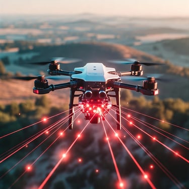
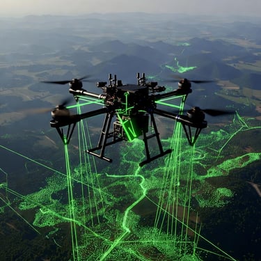
What is Drone-Based LiDAR?
Drone-based LiDAR uses pulsed laser light to measure distances with extreme precision. When mounted on a drone, LiDAR can:
Capture millions of data points in minutes
Generate an accurate 3D point cloud
Penetrate dense vegetation to reveal true ground levels
Perform exceptionally well in challenging terrains
This makes LiDAR far more reliable than traditional photogrammetry in forested, uneven, or complex environments.
🎯 Our Comprehensive LiDAR Service Offerings
We provide a complete LiDAR workflow—from field acquisition to final 3D model delivery.
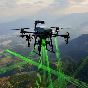
1. LiDAR Data Acquisition
Precision & Efficiency:
Our professional drone-mounted LiDAR systems ensure rapid, detailed, and accurate data capture across large or complex locations.
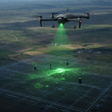
Perfect for Challenging Sites:
LiDAR excels in areas with heavy vegetation, intricate infrastructure, or low-light conditions where other methods fail.
Safety Advantage:
Drone deployment reduces the need for surveyors in hazardous or inaccessible environments, ensuring safe and efficient operations.
2. LiDAR Data Processing & Point Cloud Generation
Refined Accuracy:
Our experts process raw LiDAR data to:
Remove noise
Classify points (ground, buildings, vegetation, utilities)
Georeference the point cloud
Produce a true-to-reality 3D dataset
High-Density Point Cloud:
The final output becomes the foundation for analysis, measurements, modeling, and engineering workflows.
3. High-Fidelity 3D Model Output
We deliver fully processed 3D models in industry-standard formats:
OBJ (Object File):
Perfect for design, rendering, visualization, VR/AR, and general 3D applications.
FBX (Filmbox):
Ideal for engineering, game engines, film work, simulation, and advanced animation pipelines.
Applications include:
Volume & cut/fill calculations
Topographic mapping
Structural inspection
Construction progress tracking
Digital archiving & digital twins
Ready to Elevate Your Project With High-Precision 3D Data?
For inquiries, project quotes, or technical discussions:
Viral Gala
360 VR Photography
📞 Call: 9920322366
📧 info@360vrphotography.in
🌐 www.360vrphotography.in
Experience
Engaging virtual tours for real estate and events.
Innovative
info@360vrphotography.in
+91 9920322366